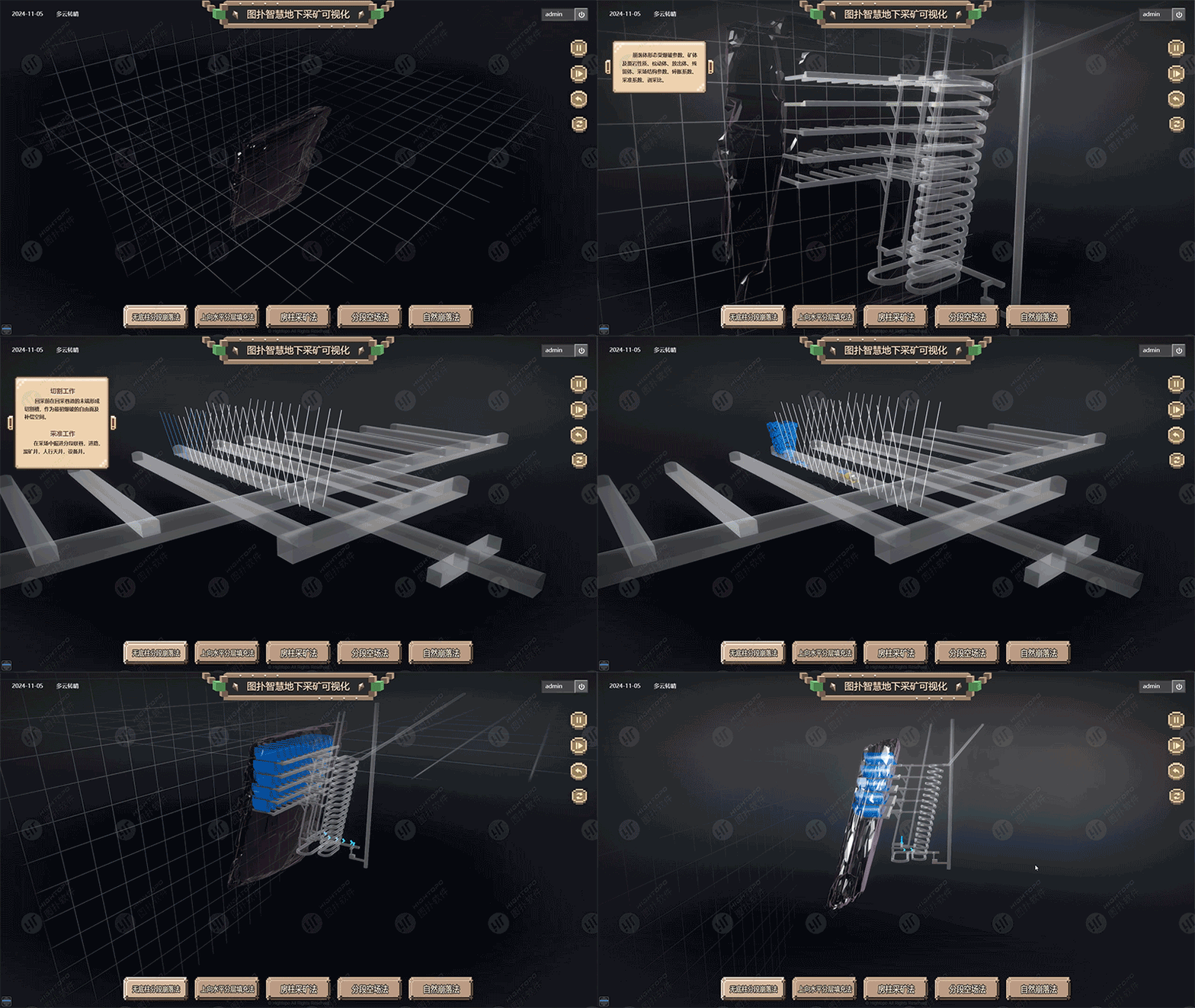
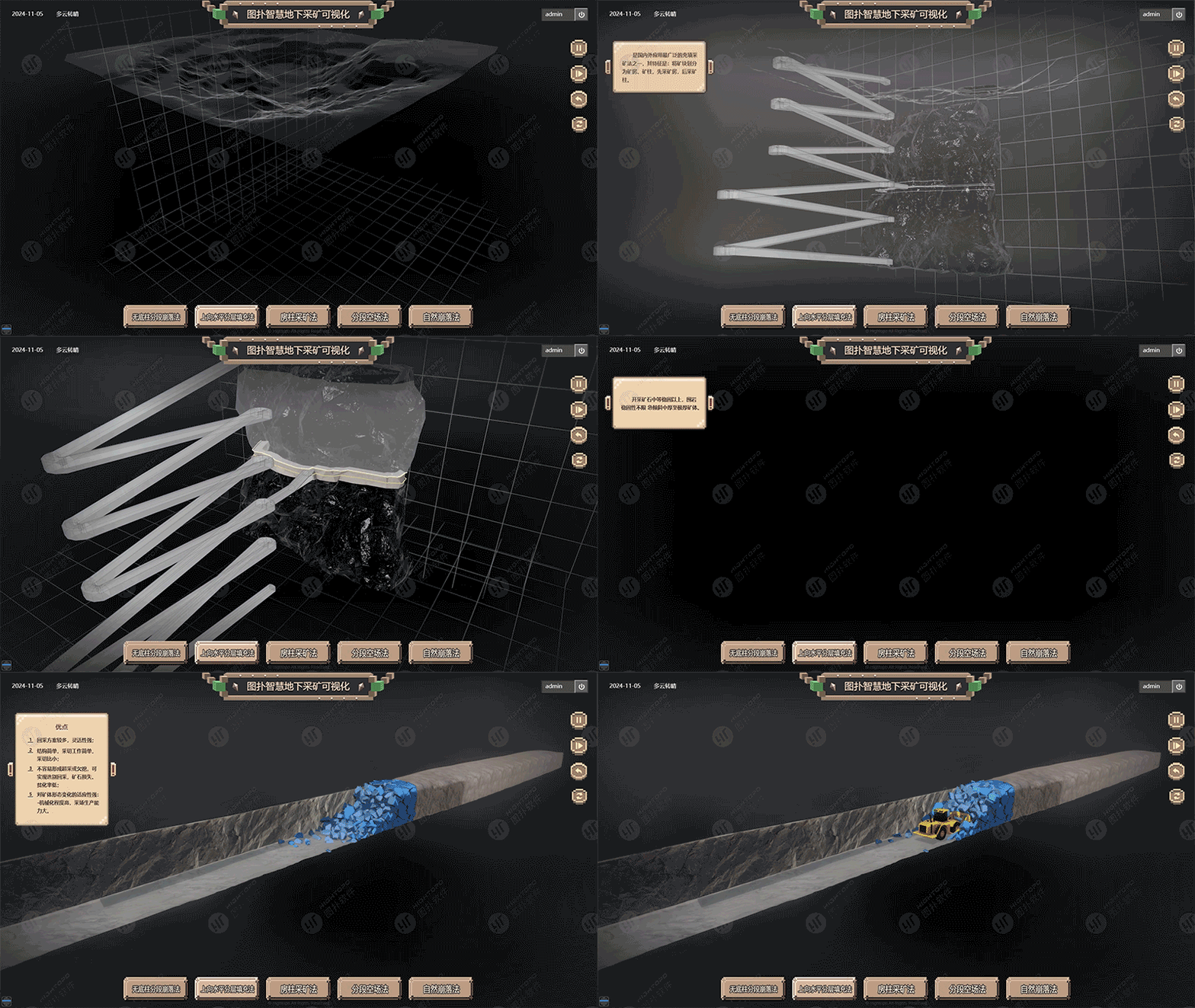
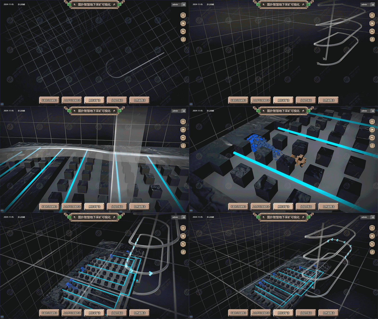
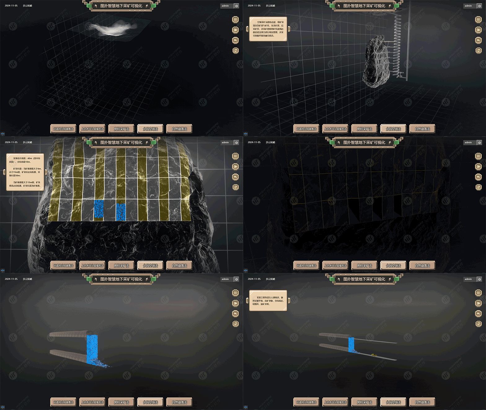
3D Geological Modeling
Geological data is the foundation of three-dimensional modeling, resource estimation, and mine design. The platform integrates surface survey, drill-hole sampling, geophysical exploration, and remote sensing data — including seam thickness, stratigraphic sequence, rock types, ore grade characteristics, depth, and reserve estimates.
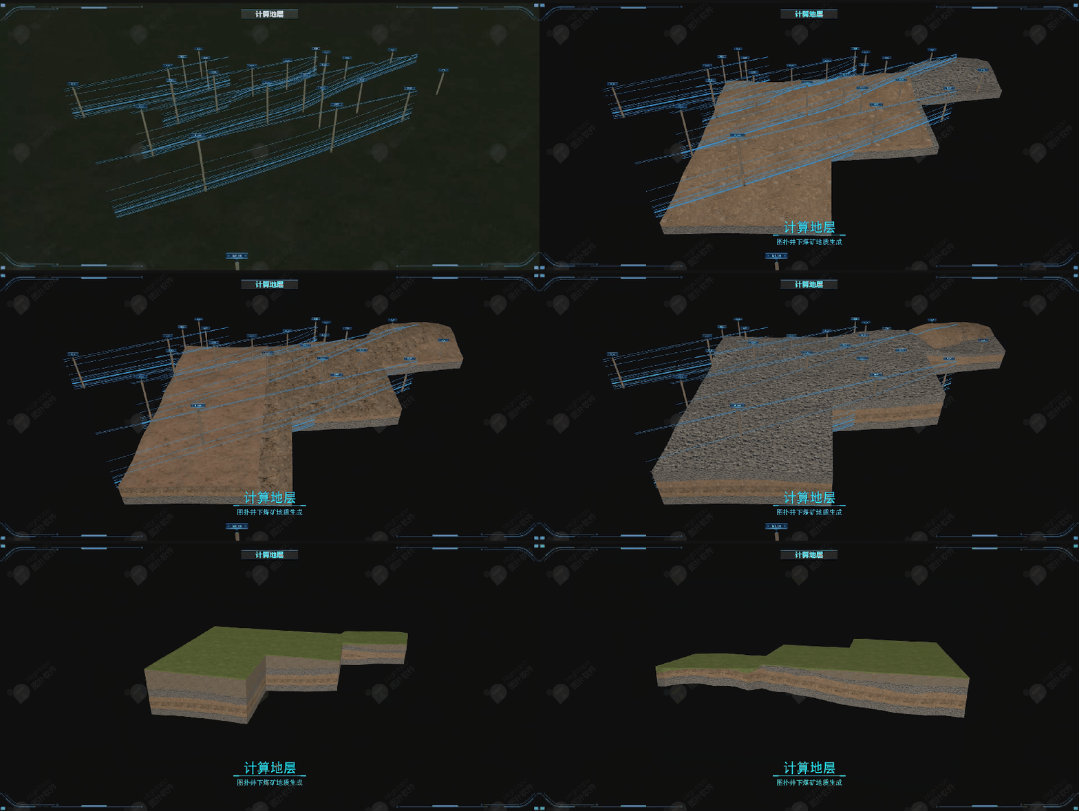
Transparent Geological Model
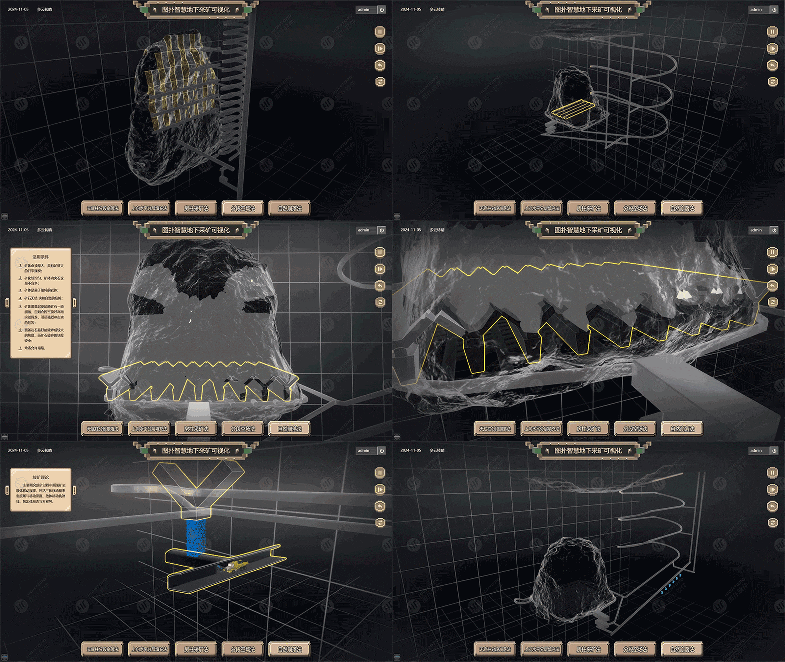
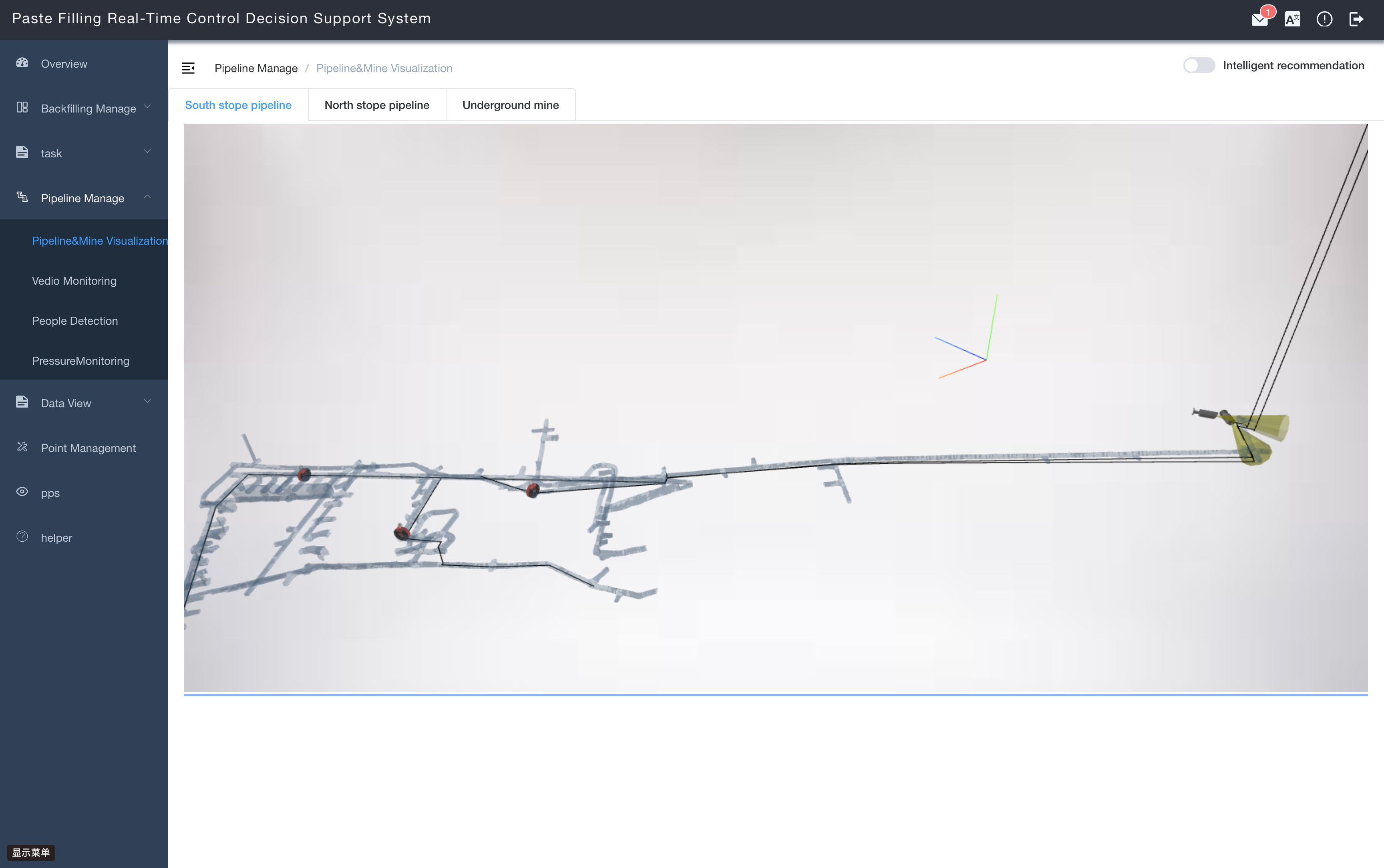
Integrates drill-hole data, cross-sections, roof/floor parameters, and fault lines to build precise stratigraphic surface models. Complex algorithms cut and fill boundaries between surfaces to generate complete ore-body 3D models — making hidden geological hazards fully visible and measurable.
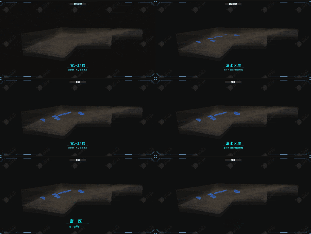
Water-Rich Zone Identification
Analyzes hydrogeological data and historical mining records to locate and predict water-rich zones. Critical for water-hazard prevention and optimized extraction plans, significantly improving mine safety.